We are reader-supported. When you buy through links on our site, we may earn affiliate commission.
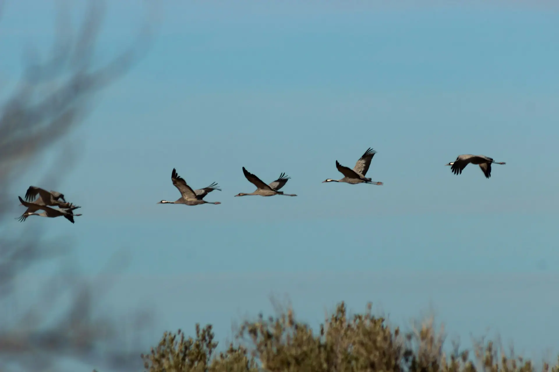
Knowing where and when birds migrate assists researchers in identifying useful trends and implementing new conservation strategies. Details tracked on a bird migration map enhance the study and protection of these creatures now and in the future.
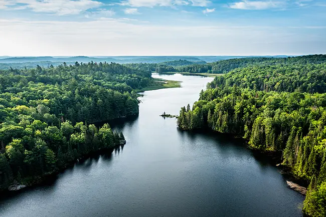
A common approach in studying migratory behavior was to focus on forests, since scientists viewed those as breeding habitats. However, a joint research effort in 2023 took a broader approach by creating the first map of migratory paths and stopping points for birds traveling through the Eastern region of the United States.
The researchers confirmed that the whole migratory population moves across the continent twice yearly. Additionally, they use forested areas along the route to find food and shelter. The team relied on radar-based weather data to create their map, which showed them how birds congregate in specific areas and along particular routes when moving.
For example, analyses showed birds tend to travel along the Mississippi River or the Appalachian Mountains. However, croplands within the Midwestern part of the United States collectively create ecological barriers, causing the birds to stay closer to the borders.
Another finding was that even small forested areas in urban, suburban or cropland regions became havens for the migrators, and to a greater extent than researchers previously thought.
The team concluded that investing in forest preservation projects could help maintain healthier bird populations, mainly since the migratory period requires so much vulnerability and extra stress.
Light pollution doesn’t just hinder stargazing efforts. It can also confuse migratory birds and make their travel riskier. Other creatures, such as sea turtles, face similar threats. These issues are sobering reminders that human conveniences can become detrimental to wildlife.
In a 2023 study that was the largest of this type so far, researchers used weather radar data to create a bird migration map of stopover points. The outcomes showed artificial light was the second-most likely reason for birds landing in specific places. The birds used those stopover locations as refueling points along their often-grueling journeys.
The research involved 10 million radar observations, plus landscape details and other location specifics. The team examined 49 predictors to understand more about birds’ preferred places to stop. Although the scientists found light pollution was the second overall predictor and the top human-driven reason, they found elevation was the strongest aspect causing birds to stop. A closer look at the radar data showed they usually followed particular coastlines or stayed at constant elevations while moving.
The scientists recommended public awareness as a good starting point for reducing light pollution-related hazards, such as collisions or misdirection. For example, many people don’t know nighttime is the most common migration time for birds. The team identified turning lights off as a simple solution with immediate benefits. However, it’s also somewhat impractical, given the number of illuminated buildings in a given city, including some that must stay lit all the time.
Some projects go beyond creating a bird migration map and get details about how personalities could change travel patterns. In one three-year study, people tracked red knots, great knots and bar-tailed godwits with lightweight, wearable transmitters. However, rather than only determining the birds’ travel habits, the research team ran personality tests on the great knots, classifying them as primarily showing either conservative or exploratory behavior.
One finding was that the exploratory birds could cope better with environmental changes, such as those limiting their feeding and prey opportunities. They also arrived earlier in the Eastern Russian Arctic, which was the birds’ breeding area.
Besides using their bird migration map to find when the creatures landed in the breeding area, researchers could see that those categorized as exploratory types had better chances of successfully raising their chicks. They concluded that because the birds stayed in the location longer. However, if chicks die during birth, or the adult birds lose their eggs, they leave the breeding area shortly afterward.
This research also represented the first time people had mapped the exact routes of great knots and red knots traveling across an area called the East Asian-Australasian Flyway. The team learned some new things that could shape future work. For example, the previous assumption was that these birds only used one or two stopover points during their journeys. However, the map data indicated they actually rely on several.
Additionally, confirming that the bar-tailed godwit uses a particular area in the Yellow Sea to reenergize during its journey led to the section getting recognized by the United Nations as a World Heritage Site. Work such as this study is necessary for further conserving the essential stopping points for these migrating birds.
The Arctic tern is an important bird for Inuit people, who eat its eggs and watch the small, white bird to learn things about the environment and wildlife within it. It also holds the world record for the longest annual migration. However, until a 2021 study occurred, researchers had only monitored this creature’s migratory patterns throughout Europe. That investigation centered on how the Arctic tern moved through Canada.
The work involved people from nine universities to capture the birds, place trackers on them, then release them and wait for their returns. However, since their flights can cover at least 70,000 kilometers, the researchers knew they wouldn’t get any quick outcomes.
One finding was that the bird took one of three routes on its Southern migrations. Two were along the Atlantic Ocean, while the other took a Pacific Ocean path. However, the birds only used one Atlantic route when moving North. The flying locations varied, too. When going South, the birds stayed closer to the coast. However, they were directly over the ocean when traveling North.
The researchers hope their work will encourage the creation of seasonal-based protected marine areas that would move according to the birds’s travel patterns at particular times of the year. Such progress could bring significant conservation benefits since scientists have tracked the decline of these bird populations but haven’t pinpointed the reason. They believe humans may inadvertently create some kind of migration barrier that could put the birds at greater risk.
These studies show why scientists can learn more than people might expect by creating a bird migration map. This approach takes time and requires patience, but it can reveal new things about how birds travel and what humans can do to make the journeys less hazardous.